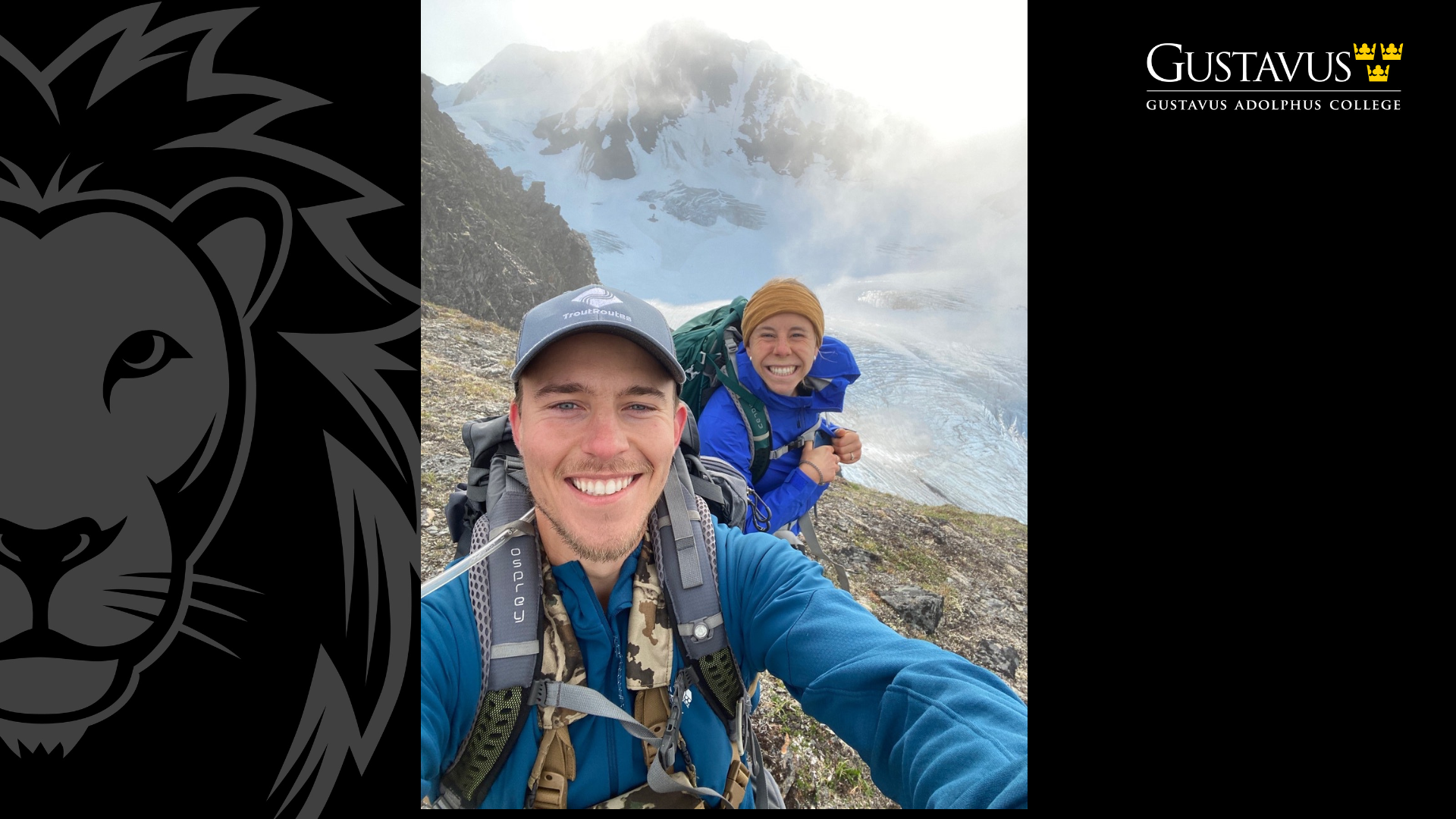
Written by Brian Lucas.
When Chloe Shaw ‘19 walked into her first Geographic Information Systems (GIS) class during her junior year at Gustavus, she had no idea the class would end up changing the course of her career. “I didn’t know what GIS was when I started college,” Shaw said. “I had an interest in ecology, biology, and statistics, so my advisor recommended the class. Now GIS is my job, and it can take me to so many places.”

GIS is a tool that helps people to organize and analyze different kinds of data to figure out how they physically relate to each other in the world. The uses range from studying wildlife migration, to planning transportation infrastructure, or even helping map the human brain. “The way we teach GIS at Gustavus is that it’s a tool for solving problems,” said Jeff La Frenierre, Professor in Environment, Geography and Earth Sciences (EGE) at Gustavus. “We teach students how to ask good questions and use data to examine the relationships between things, looking for answers.”
In addition to teaching GIS courses, La Frenierre also leads Gustavus students on fieldwork trips in Ecuador and Sweden, using GIS tools to track changes to glaciers over time. Shaw participated in two of these adventures and said they made a huge impression. “Standing on a glacier, putting out canvas tarps as targets, and flying drones over the glacier in really windy conditions, was one of those amazing moments I never could have dreamed of,” she said. “I got to see how GIS can help us understand things like climate change in new ways, so it really opened my eyes.”
Jeremy Gilbertson ‘21 also found inspiration from studying GIS at Gustavus. Gilbertson says he always loved maps and figuring out how things fit together. In his junior year, a classmate—Bri Jol ’20, now Gilbertson’s wife and a fellow GIS worker—recommended he take La Frenierre’s class. “I ended up loving it,” Gilbertson said. “Jeff had a way of teaching that gave us just enough tools to solve the problem, but didn’t hold our hand to the point where we didn’t have to make connections and discoveries on our own. I specifically remember sitting in class thinking, ‘Wow, I can see exactly how I can use this in the real world and make a career out of it.’”

After graduation, Gilbertson joined a startup company called TroutRoutes, which was later purchased by onX Maps. He is now a Senior Geospatial Analyst focused on gathering and analyzing data related to trout fishing. He uses GIS to help people know where they can fish, where certain species of fish live, and other relevant information across the lower 48 states.
Shaw has also put her GIS passion to work. She got a job with the National Parks Service, working on-site at locations including Denali, Yellowstone, and Grand Teton National Park. During the 2023 wildfires in Yellowstone, her work played a critical role in helping map damage, which helped determine safety and mitigation responses. Today Shaw is based in Seattle, where she uses GIS to help the Parks Service make decisions about potential land acquisitions.
La Frenierre says Shaw and Gilbertson are merely two great examples of how Gusties can use GIS to follow their own paths and ambitions; other past students of his have moved into fields such as urban planning, public health, and social justice work. Most of them came from the EGE Department, but he says the tool can be useful for anyone who’s detail oriented and interested in solving problems. “Often students don’t find their way into GIS until junior or senior year, and then the lightbulb goes off and they see the power of this tool,” La Frenierre said. “It’s an excellent skill, and one that employers need. The possibilities are endless for where it can take you.”
Shaw says her exposure to GIS at Gustavus has made a huge difference in how she sees the world. “Being spatially literate and knowing how to look at things differently can set you up for success no matter what path you choose,” she said. “You’re able to understand different applications and work with many different experts who rely on the information that you can deliver.” 
Gilbertson says no matter what career someone is pursuing, taking a GIS course can provide them with valuable perspective and skills—while taking them on journeys that they may never have imagined. “I’d tell students [considering a GIS course] to just give it a shot!” he said. “At first, all the different software and lingo can seem intimidating, so focus on the bigger picture and how the different pieces fit together. There’s tons of free data out there on whatever you might be interested in, and some very simple operations can lead to pretty amazing results.”

Leave a Reply